NV5 Advances Hydrography in the Great Lakes: Join the August 27 Live Webinar
August 20, 2025
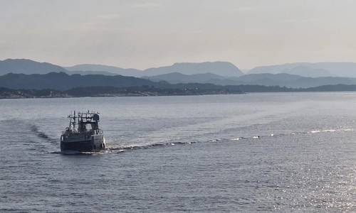
NV5 has unveiled its latest precision hydrography innovations in the Great Lakes, enabling maritime stakeholders to “Own the Lakebed, Master the Mission."
To showcase these breakthrough capabilities, NV5 will host a free, live webinar on Wednesday, August 27 at 1:00 PM CT/ 2:00 PM ET, offering a deep dive into how integrated hydrographic, terrestrial, and lidar data are transforming infrastructure planning and environmental monitoring in the region.
From shoreline restoration to subsea cable routing and coastal resilience projects, complex Great Lakes environments demand highly accurate, nimble survey solutions. NV5’s purpose-built vessels and workflows are tailored to shallow waters, dynamic morphology, and unstable weather, delivering speed, precision, and context when it matters most.
The webinar will cover:
- Faster yet Precise Surveys: How NV5 cuts traditional timelines without sacrificing quality or detail.
- Integrated Data Streams: Blending hydrography, terrestrial, and topobathymetric lidar for comprehensive lakebed insights.
- Real-world Impacts: Examples of community-scale projects enabled by this advanced geospatial approach.
Featuring a lineup of hydrospatial professionals from NV5 and key partners including NOAA and Exail, this event promises practical insight and rigorous examples of risk-informed strategy in action.
Webinar Details:
Title: Advanced Hydrography in the Great Lakes
Date: Wednesday, August 27
Time: 1:00 PM CT/ 2:00 PM ET
Format: Virtual and free to attend
Register now: https://www.go.nv5.com/great-lakes
