UTEC, Sonardyne Tackle GNSS Disruption in Middle East Pipelay Projects
November 2, 2026
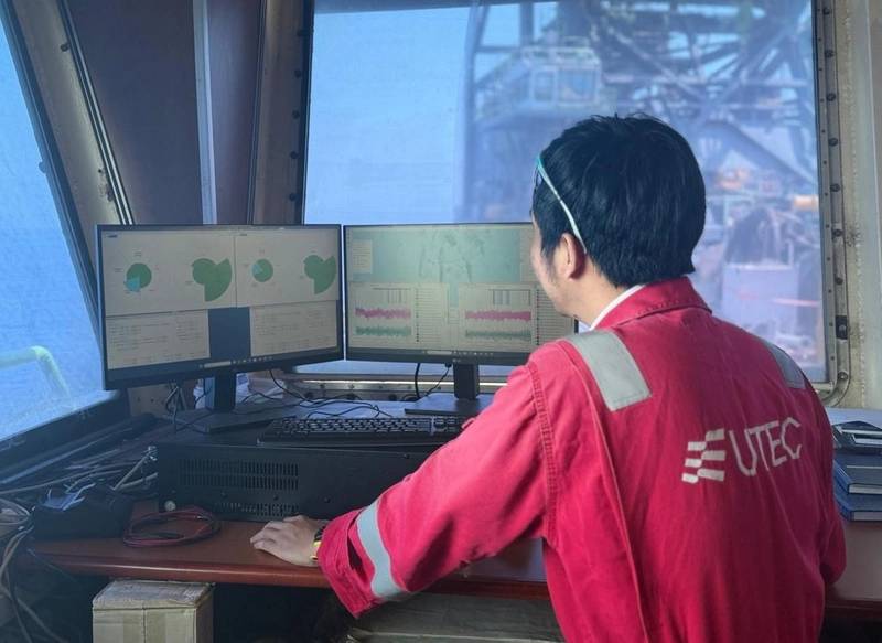
UTEC, Acteon's geo-services business, will deploy a hybrid acoustic-inertial positioning system developed with Sonardyne to support two offshore pipelay projects in the Middle East, covering more than 150 kilometers of pipeline installation.
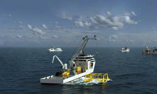
The system, designed to maintain accurate positioning during GNSS disruption, will support pipelay barges and anchor-handling tugs operating in water depths of less than 50 meters.
Developed with Sonardyne, a Kraken Robotics company, the solution combines Fusion 2 LBL-INS survey software, Compatt 6+ LBL transponders and SPRINT-Nav navigation systems to provide positioning capabilities that reduce reliance on satellite navigation signals.
SPRINT-Nav systems installed on the pipelay barges and support tugs will provide continuous navigation using inertial and Doppler velocity log data, with GNSS positioning available as an additional reference when signals are reliable.
Acoustic measurements from seabed-mounted Compatt 6+ transponders will provide an independent positioning reference, allowing operators to maintain accurate navigation when GNSS signals are disrupted or unreliable.
The system will also use Fusion 2 software to calibrate a sparse array of seabed transponders as the construction spread advances along the pipeline route.
This approach eliminates the need for dedicated conventional array calibration operations, reduces the number of transponders required and limits interruptions to pipelay activities.
“Using Fusion 2, Compatt 6+ and SPRINT-Nav in this way will show how acoustic and inertial technologies can be configured around the realities of a construction project, rather than forcing operations to fit a conventional survey model,” said Duncan Rigg, Business Development Manager, Ship Systems, at Sonardyne.
The positioning system is intended to support both the precise movement of pipelay barges during pipeline installation and the navigation of support tugs handling anchors around the construction spread.
The two projects will also demonstrate the use of acoustic-inertial positioning as an alternative reference for offshore construction operations in areas affected by GNSS interference, denial and spoofing.